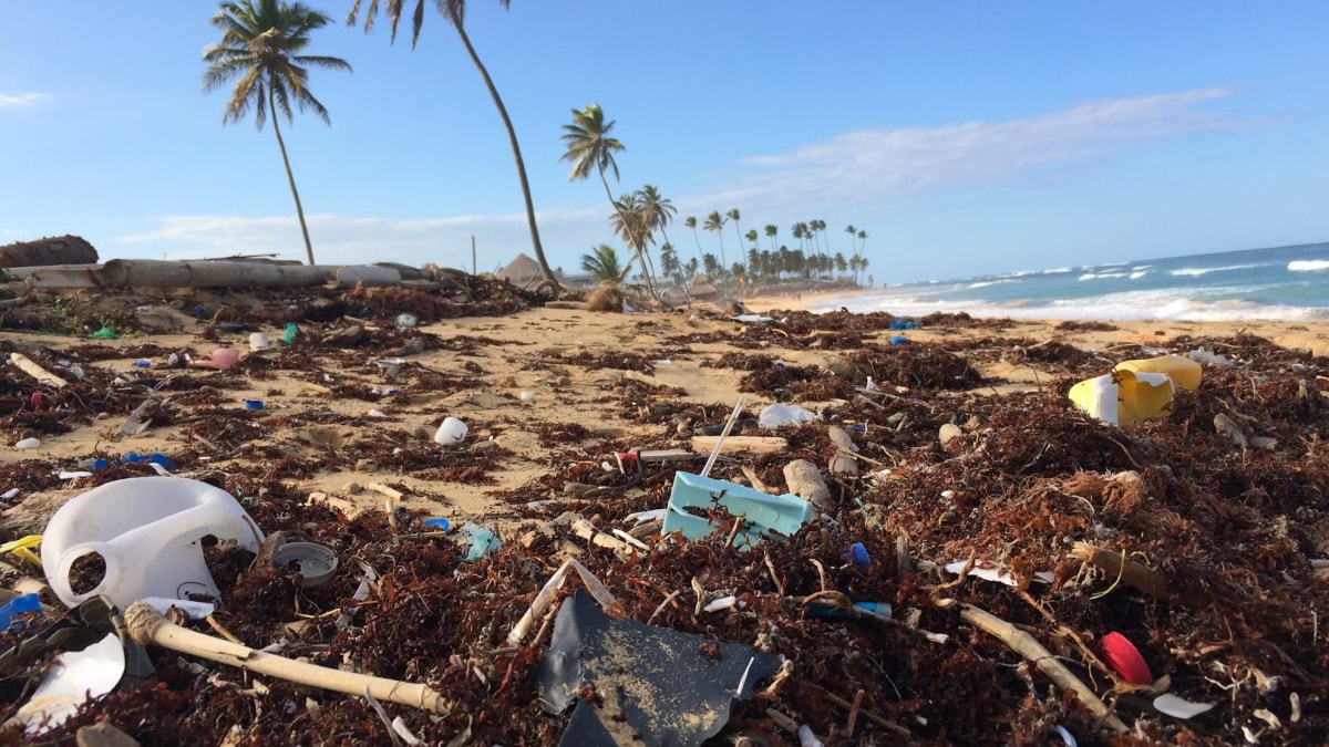
Australian researchers have discovered a new method to detect plastic waste on beaches, using satellite imagery that allows them to identify plastic debris from over 600 km above the Earth’s surface. This breakthrough comes from a team at RMIT University, led by Dr. Jenna Guffogg, who conducted field tests on a secluded beach in Victoria. By tracking variations in how light reflects off different materials, such as sand, water and plastic, this tool could revolutionise how plastic waste on shorelines is detected and managed.
A New Approach to Plastic Pollution Monitoring
As per a report by Earth, the traditional satellite technology has long been effective in identifying massive floating trash patches in oceans, but it struggles to spot smaller, scattered debris along coastlines where waste blends with natural elements like sand. The new tool, known as the Beached Plastic Debris Index (BPDI), overcomes this limitation by using a specific mathematical formula to isolate light reflections specific to plastic. This technique provides images that can help pinpoint beach areas with high concentrations of plastic waste, enabling targeted clean-up efforts.
Plastic pollution is a growing issue, with over 10 million tonnes enterithng oceans each year—a figure that could reach 60 million tonnes by 2030. This accumulation affects marine life severely, as larger animals can become entangled in waste while smaller creatures, like hermit crabs, may find themselves trapped in containers. With this technology, researchers aim to mitigate such impacts by helping clean-up teams locate high-risk areas more accurately.
Testing and Validation of the BPDI
The report further highlights that the BPDI’s effectiveness was tested with plastic targets placed on a beach in Gippsland, Victoria. Results were then compared with three existing indices, with the BPDI outperforming them in detecting plastic. Dr. Mariela Soto-Berelov, a co-author of the study, highlighted the technology’s potential to monitor even remote beaches. “The beauty of satellite imagery is its ability to cover vast areas regularly, which is essential for understanding where debris is accumulating and for planning effective clean-ups,” she stated.
Moving Toward Practical Applications
The BPDI shows immense promise but further testing in real-world scenarios is necessary. The RMIT team is now seeking partnerships with organisations to expand their research and help safeguard vulnerable coastlines. Dr. Guffogg, who pursued this research as part of her PhD, is optimistic about its potential to drive local clean-up initiatives. Accurate data could help communities to take active roles in maintaining cleaner shorelines and raise awareness about plastic pollution.
Global Potential for Environmental Protection
The global impact of this tool could be significant as countries work towards international environmental goals. Collaborations with government bodies, NGOs, and environmental agencies could aid in adopting this technology worldwide. Additionally, as the BPDI technology advances, it may be adapted for other ecosystems affected by plastic pollution, broadening its role in environmental conservation efforts. Through innovations like this, the world moves closer to a sustainable future where plastic pollution can be effectively monitored and managed.


